
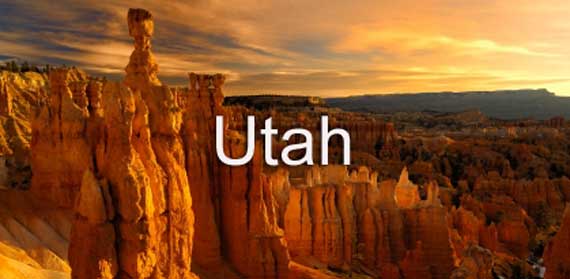
Utah is located in the western part of the United States. It shares borders with Nevada, Idaho, Wyoming, Colorado, and Arizona. Utah became the 45th U.S. state on January 4, 1896, and it is the 11th largest state as measured in square miles. Salt Lake City is Utah's capital and its most populated city. Residents of Utah are called Utahns. Utah is a Ute Indian word and means "people of the mountains". Utah is famous for the Mormon Temple, the Great Salt Lake, Bryce Canyon National Park, Bridal Veil Falls, Zion National Park, and many more natural wonders. Utah's nickname is the Beehive State and its postal abbreviation is UT. (3-page lesson)
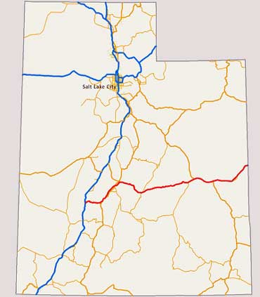
Map of Utah
Utah is located in the western part of the United States. It shares borders with Nevada, Idaho, Wyoming, Colorado, and Arizona.
About 80 percent of the state's population live in the north-central part of the state near Salt Lake City.
In 2008, Utah was the fastest growing state in the U.S.A.
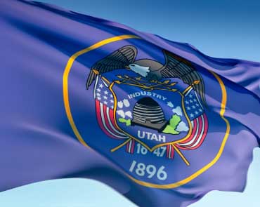
State Flag of Utah
Utah's state flag is dark navy blue with the state seal in the center. The state seal is in a golden circle.
Utah's flag also has a bald eagle, sego lily, beehive, crossed U.S. flags, the name Utah, and the dates 1847 and 1896. The date 1847 represents the year that Brigham Young arrived in Utah and 1896 represents the year that Utah became a state.